GPS coordinates / 28.5311257,83.8767529
Tibet Annapurna Sanctuary Summit PhotoSphere VR
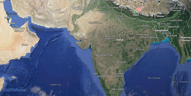
GVJH+874, Ghandruk 33700, Nepal
Surrounded by 16 peaks above 6.000ft in sea level oh and one of those peaks is Mt.Everest, the area is on a glacial basin on a vertical summit high in the mountains of Tibet making it a perfect spot for snaps and sightseeing

GPS Coordinates / 28.530501, 83.877962
The Annapurna Sanctuary is a high glacial basin lying 40 km directly north of Pokhara. This oval-shaped plateau sits at an altitude of over 4000 metres, and is surrounded by a ring of mountains, the Annapurna range, most of which are over 7000 metres. With the only entrance a narrow valley between the peaks of Hiunchuli and Machapuchare, where run-off from glaciers drain into Modi Khola River, the Sanctuary was not penetrated by outsiders until 1956.