Gps Coordinates / 55.003524,-2.3761304
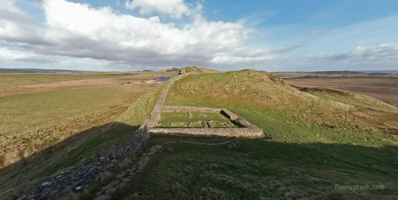
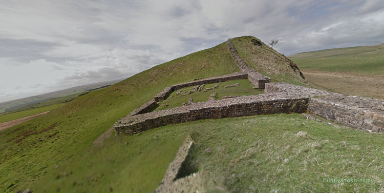
Castle Nick Hadrians Fort 39 Milecastle Wall VR Northumberland
Military Road, Once Brewed, Hexham NE47 7AN
In the south-east corner was a stone oven and the south-west corner a rectangular building with a sunken floor associated with Roman finds.
The milecastle appears to have been occupied until the late 4th century.
Gps Coordinates / 55.0037038,-2.3755708
In the south-east corner was a stone oven and the south-west corner a rectangular building with a sunken floor associated with Roman finds.
Link Location Gps / Gps Link -2.3751757 / Gps Link -2.3750077 / Gps Link -2.3748648
Gps Coordinates / 55.003733,-2.3751757 / 55.0037159,-2.3750077 / 55.0036765,-2.3748648
These turrets were positioned approximately one-third and two-thirds of a Roman mile to the west of the Milecastle, and would probably have been manned by part of the milecastle's garrison.
In the 18th century a possible milking house was built in the west corner.
Link Location Gps / Gps Link -2.3764138 / Gps Link -000.000 / Gps Link -2.3766065
Gps Coordinates / 55.0035439,-2.3764138 / 55.0035858,-2.3766065
Turret 39A (Peel Crag) was located in 1909 and excavated in 1911. It was found to have been abandoned, dismantled and its recess built up at the end of the 2nd century. In the north-west corner was a burial of a man and a woman. The turret is visible as a slight rectangular hollow about 20 centimetres deep.
Each milecastle on Hadrian's Wall had two associated turret structures.
Gps Coordinates / 55.0035395,-2.3745906
Turret 39B (Steelrigg) was excavated in 1909 and in 1911. It was found to have been abandoned, dismantled and its recess built up at the end of the 2nd century. There are no visible remains.
