Gps Coordinates / 63.883106,-22.2508785
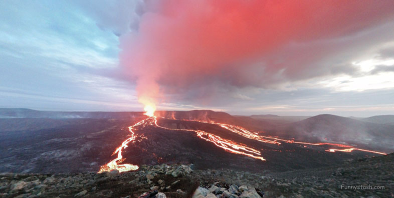
Volcano Stori Hrutur Crater Hiking Trail VR Iceland
VPMX+8R9, 241, Iceland
Stóri Hrútur viewpoint is on top of Stóri Hrútur mountain (353 metres) and just over 1 kilometre further along the ridge from Langihryggur.
To get closer to the Meradalir fissure head further along the ridge to Stóri Hrútur viewpoint.
Gps Coordinates / 63.8832939,-22.2503782
An easier path heads around the base of the mountain staying closer to the 2021 lava flow and giving you a lower view over the new eruption.
Link Location Gps / Gps Link -22.2503053 / Gps Link -22.2508694 / Gps Link -22.2545356
Gps Coordinates / 63.8832532,-22.2503053 / 63.883031,-22.2508694 / 63.881156,-22.2545356
Five different viewpoints in the Fagradalsfjall area and how to hike to them is available on Funnystash use our search above the appropriate details to find that stash.
Link Location Gps / Gps Link -22.2505331 / Gps Link -22.2546533
Gps Coordinates / 63.8832754,-22.2505331 / 63.8855133,-22.2546533
Five Viewpoints are Stórhóll with Meridalir viewpoints Nátthagi viewpoint and the Langihryggur viewpoint with on course Stóri Hrútur.
There is a steep and often slippery and tricky zig-zag path heading up its slope.
Gps Coordinates / 63.8838804,-22.2492758
Closest Park – Car Park 2 , Distance – 4 kilometres , Time – 1 hour 40 minutes one way , Difficulty – Medium , Challenging with 370 metres of ascent.
.
.
.
Visit Iceland, Iceland has some tourist sites below to inspire personal map visits below, check them out and let us know how you got along
-
.
.
.

