Gps Coordinates / 7.6255299,100.091229
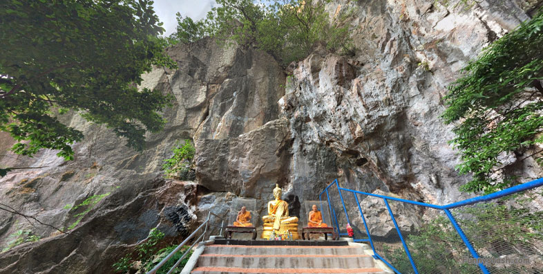
Buddhist Shrine Peaks VR Chao Mae Ruedi Khao-Okthalu
J3GR+7G6, Khuha Sawan, Mueang Phatthalung District, Phatthalung 93000, Thailand
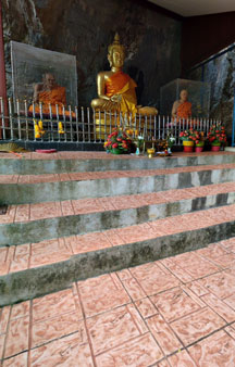
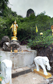
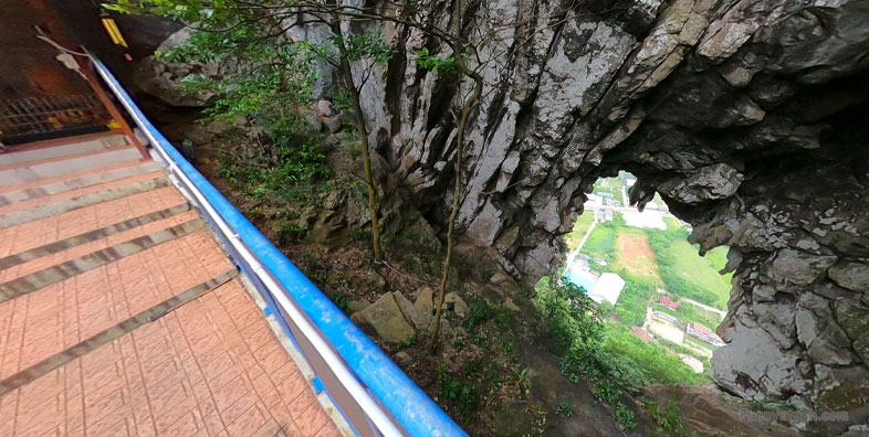
Besides the hole that serves as a surreal window to the below city sits wax figures of monks, it is known that the ancient gold monks actually have real monks inside as they deprive themselves of all toxins of our reality they can then transform, part of the respect of the transformation process is to encase them in gold preserving them as the golden monks you see before you today. These however are just wax figures.
Khao Ok Thalu is an unusually-shaped mountain, clearly visible from afar
Gps Coordinates / 7.6251177,100.0909741
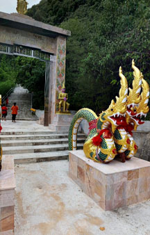
An ancient Indian symbol that in Mahayana Buddhism represents the Buddha’s serene mind. Further up the path are two Chinese-style pagodas joined by an image of Kuan Yin with 13 heads and over 200 hands
This Mountain has symbolic significance in Phatthalung
Link Location Gps / Gps Link 7.6254424 / Gps Link -000.000 / Gps Link -000.000
Gps Coordinates / 7.6254424,100.0909323 / 7.6265107,100.0893966 / 7.626386,100.0889737
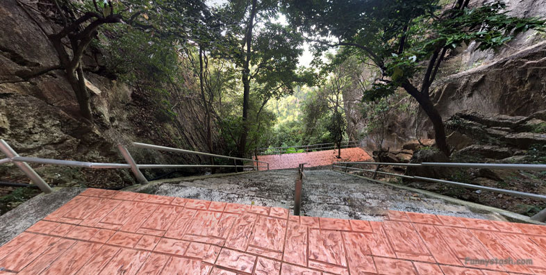
Khao Thalu is a legendary mountain of Phatthalung Province. The route up is difficult and very high, but with one life has to go up to see the beauty of Phatthalung city from the top of the mountain.
Appears in somewhat stylized form on the provincial seal of PhatThalung.
Gps Coordinates / 7.625,100.091667
Khao Ok Thalu stands on the east side of the train station. Khao Ok Thalu is a symbol of Phatthalung Province.
Khao Thalu is a mountain in Thailand and has an elevation of 192 metres. Khao Thalu is situated nearby to the localities Ban Klang and Ban Huai Thap Thong.

