


Gps Coordinates / 27.5037476,90.4943041 / May 2013
Bhutan 360 VR maps Street-View
Wangdue Phodrang - Trongsa Hwy, Bhutan
Land Of The Thunder Dragon
The subalpine Himalayan mountains in the north rise from the country's lush subtropical plains in the south. In the Bhutanese Himalayas, there are peaks higher than 23,000 feet above sea level. Gangkhar Puensum is Bhutan's highest peak and may also be the highest unclimbed mountain in the world. The wildlife of Bhutan is notable for its diversity, including the Himalayan takin. The capital and largest city is Thimphu.
Lovely artwork on these buildings
May 2013


Link Location Gps / Gps Link 27.5512994 / Gps Link 27.5512176 / Gps Link 27.4455599
Gps Coordinates / 27.5512994,89.872003 / 27.5512176,89.8719457 / 27.4455599,89.4194281
Buthan is a very mountainous region meaning the animals we consider fat, lazy, dumb and stupid are very clever, skinny and sure footed the higher you go in your geography worth a giggle if you've never seen a mountainaness cow. The mythical cowness, you could be forgiven for the honest misteak, anyway i'll quit milking this i'm sure you've herd enough
More like Land of The Thunder Cows, am i right

Come with us on streetview and check out the mountainess cows unless you have something else planned on your dairy list just hoof it out of here if you aren't interested, breathtaking mountain views through-out this street-view, temples, shrines and hotels dotted through-out the street-view on this relaxing journey with the odd mountain cow, i never get used to saying that, mountain-cow
Beautiful house art, stencil or by freestyle memory you decide
May 2013


Link Location Gps / Gps Link 27.4454726 / Gps Link 27.5935505 / Gps Link 27.593469
Gps Coordinates / 27.4454726,89.4193928 / 27.5935505,89.6295392 / 27.593469,89.6295992
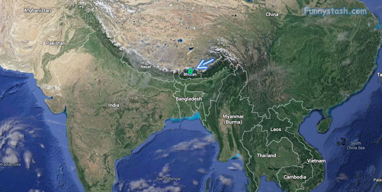
Bhutan is a landlocked country in the Eastern Himalayas, located between China and India. Has been heavily influenced by Tibetan culture and Tibetan Buddhism from the land immediately to its north. Nepal and Bangladesh are located in close proximity to Bhutan but do not share a land border. The country has a population of over 754,000
Looks legit safe on this scaffolding overlooking neighboring border of Bangladesh
Jun 2013

Gps Coordinates / 26.8613376,89.382698
Bhutan's border with China is largely not demarcated and thus disputed in some places. Approximately 104 sq miles remain under discussion between China and Bhutan. On 13th November 2005, Chinese soldiers crossed into the disputed territories between China and Bhutan and began building roads and bridges. Bhutanese Foreign Minister Khandu Wangchuk took up the matter with Chinese authorities after the issue was raised in the Bhutanese parliament. In response, Foreign Ministry spokesman Qin Gang of the People's Republic of China said that the border remains in dispute and that the two sides are continuing to work for a peaceful and cordial resolution of the dispute, denying that the presence of soldiers in the area was an attempt to forcibly occupy it. An Indian intelligence officer said that a Chinese delegation in Bhutan told the Bhutanese they were "overreacting". The Bhutanese newspaper Kuensel said that China might use the roads to further Chinese claims along the border.
Cows either enjoying the roads or! resenting them
Jun 2013


Link Location Gps / Gps Link 27.2105405 / Gps Link 27.2106295
Gps Coordinates / 27.2105405,91.5848551 / 27.2106295,91.5848188
Stone tools, weapons, elephants, and remnants of large stone structures provide evidence that Bhutan was inhabited as early as 2000 BC, although there are no existing records from that time. Historians have theorized that the state of Lhomon (literally meaning, "southern darkness"), or Monyul ("Dark Land"), a reference to the Monpa, an ethnic group in Bhutan & Arunachal Pradesh) may have existed between 500 BC and AD 600. The names Lhomon Tsendenjong (Sandalwood Country), and Lhomon Khashi, or Southern Mon (country of four approaches), have been found in ancient Bhutanese and Tibetan chronicles.
The word “Bhutan” translates to “Land of the Thunder Dragon.”
Bhutan is one of the last countries in the world to introduce television to its people. The government lifted a ban on TV and on the Internet only during 1999. internet wasn't such a wait as it was for the T.V
Bhutan is a wonderfully weird place did you know they take their environment incredibly serious on top of banning Tobacco they have a law where as it's the first country in the world with specific constitutional laws on its population to protect the environment. Among its laws: At least 60 percent of the nation must remain under forest cover at all times. A wonderfully weird place (^o^)
Hills of Bhutan, captured as it happens right outside of a hotel called the Yangkhil Resort, local hotels always have the best views as it would show


