Gps Coordinates / -0.40062,-90.291276
Galapagos islands VR Map Locations
Santa Rosa, Ecuador
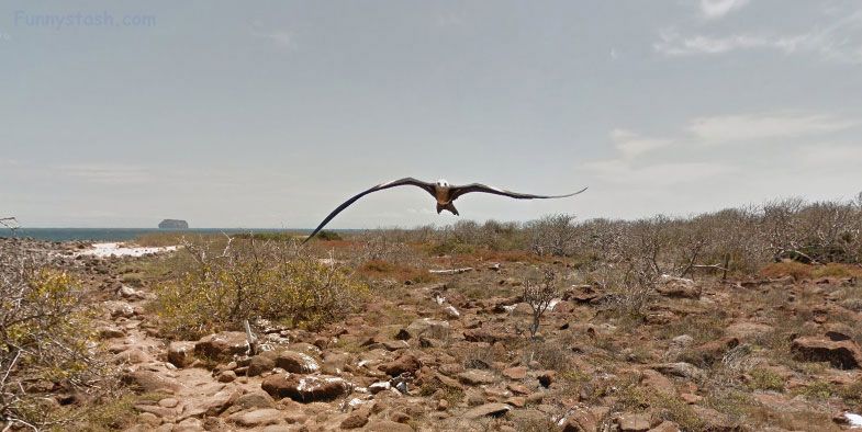
The island is named after an English nobleman, Lord Hugh Seymour. North Seymour Island has an area of 0.73 sq miles and a maximum altitude of 92 feet. This island is home to a large population of blue-footed boobies and swallow-tailed gulls.
Link Location Gps / Gps Link -90.2910792 / Gps Link -90.2919502 / Gps Link -90.2919987
Gps Coordinates / -0.4006037,-90.2910792 / -0.4005605,-90.2919502 / -0.4004973,-90.2919987
The stock for the captive breeding program of the Galápagos land iguana is descended from iguanas which Captain G. Allan Hancock translocated from nearby Baltra Island to North Seymour Island in the 1930s. This was very important because Baltra Island had a U.S airbase on it during World War II, while North Seymour, which has no people who live on it, and is only viewable today with an official guide who works for the Galápagos National Park.
Link Location Gps / Gps Link -90.2878326 / Gps Link -90.2930585 / Gps Link -90.2911058
Gps Coordinates / -0.3960225,-90.2878326 / -0.3992271,-90.2930585 / -0.3991001,-90.2911058
The Directorate of Galápagos National Park and Island Conservation reintroduced 1,436 Galápagos land iguanas (Conolophus subcristatus) to Santiago Island on 4 January 2019 after a 180 year absence.
Link Location Gps / Gps Link -90.2908333 / Gps Link -90.290558
Gps Coordinates / -0.3988883,-90.2908333 / -0.4003044,-90.290558
Charles Darwin was the second-last person to record land iguanas alive on Santiago Island in 1835, with Abel-Nicolas Bergasse du Petit-Thouars being the last in 1838.
GPS Coordinates / -0.4004788,-90.2907967
The Galapagos islands made famous by Charles Darwin. Oh you can enter and tour in the boats also and walk around the bay in a giant circle, use the navigator on bottom left for quickness cause it's a wee bit of a walk or take the boat.
Located past the Panamanian Canal and straight into the open Pacific Ocean lies a chain of small isolated islands so you'd need a good boat to see it properly, luckily they brought one with them :)
-
Island Isla Seymour Ecuador
Aerial View Of Galapagos islands
