Gps Coordinates / 46.5581206,7.8330497
Swiss Alps Summit Cable Car Map VR
3825 Lauterbrunnen, Switzerland
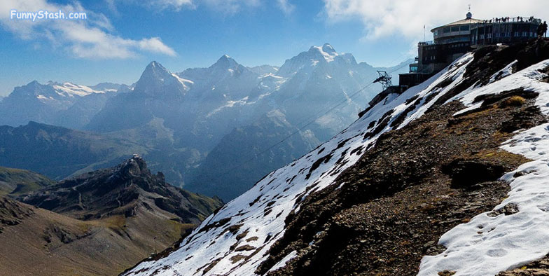
Schilthorn summit has the highest peak of Sefinenfurgge Pass and has a passenger cable car slapped bang on top of it, so it's a popular tourist destination and attracts people from all over
Gps Coordinates / 46.557172, 7.835208
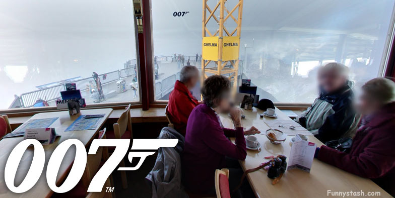
Out looking the looking point from the inside
Gps Coordinates / 46.5573111,7.8349752
When the Schilthorn was discovered as the location for the Bond film "On her Majesty's Secret Service" in 1968 only the outer shell of the summit building stood. The film producers financed the interior design and the revolving restaurant was expanded into the luxurious "Alpine Room". The wooden ceiling panels were removable to enable the scene to be lit from above. As a result of the great height, special filters had to assembled on the glass windows otherwise the natural light would have been too strong for filming.
Gps Coordinates / 46.5571746,7.8348131
The revolving restaurant was expanded by an outer ring in the 1980s. Both rings revolve, one rotation takes 47 minutes
Hallway of Bond memoribilla
Gps Coordinates / 46.5572904,7.8368694
A sort of map of the area
Gps Coordinates / 46.557348,7.8359521
Bond Heli-Tour within the bond museum
Gps Coordinates / 46.5575918,7.83607
A View from the sky of the Swiss Alps
Aerial View Of Swiss Alps Summit Cable Car
