Gps Coordinates / -24.1150936,152.7169206
Eco Resort Australia Lady Elliot Island Ocean Areas
Lady Elliot Island, Queensland 4805, Australia, Australia
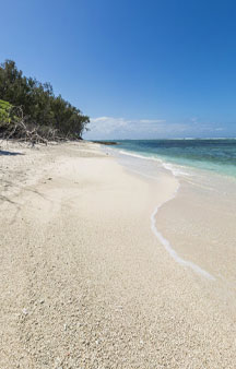
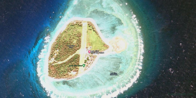
Lady Elliot Island is the southernmost coral cay of the Great Barrier Reef, Australia. The island lies 46 nautical miles north-east of Bundaberg and covers an area of approximately 110 acres. It is part of the Capricorn and Bunker Group of islands and is owned by the Commonwealth of Australia. The island is home to a small eco resort and an airstrip, which is serviced daily by flights from Bundaberg, Hervey Bay, Brisbane and the Gold Coast.
Gps Coordinates / -24.1135123,152.7095589
Lady Elliot Island is located within the 'Green Zone' of the Great Barrier Reef Marine Park, which is the highest possible classification designated by the Great Barrier Reef Marine Park Authority. Marine National Park Green Zones protect the biodiversity within the Great Barrier Reef Marine Park by protecting important breeding and nursery areas such as seagrass beds, mangrove communities, deepwater shoals and reefs.
Link Location Gps / Gps Link -24.1137145 / Gps Link -24.1137983 / Gps Link -24.1140011
Gps Coordinates / -24.1137145,152.7099098 / -24.1137983,152.7098369 / -24.1140011,152.7096793
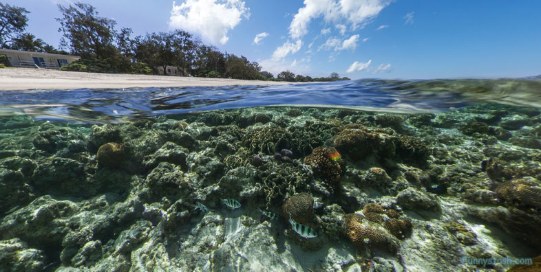
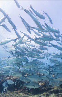
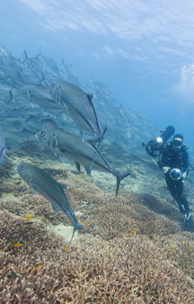
The island is particularly renowned for its scuba diving and snorkelling, as its location far offshore at the southern end of the Great Barrier Reef results in excellent water clarity.
Link Location Gps / Gps Link -24.1141091 / Gps Link -24.114238 / Gps Link -24.1143541
Gps Coordinates / -24.1141091,152.7096365 / -24.114238,152.7095989 / -24.1143541,152.709583
The Great Barrier Reef is one of the most important sea turtle habitats in the world, with Lady Elliot Island being a key part of that habitat. Every year between November and March the green and loggerhead turtles lumber up the same beach on which they were born more than 50 years ago. These turtles nest on Lady Elliot Island up to nine times in a season, laying between 80 and 120 eggs per clutch. About eight to twelve weeks later, young hatchlings leave their nests and head towards the ocean (January to April).
Link Location Gps / Gps Link -24.1143532 / Gps Link -24.1143541 / Gps Link -24.1144999
Gps Coordinates / -24.1143532,152.7092896 / -24.1143541,152.709583 / -24.1144999,152.7096041
Lady Elliot Island is just north of Hervey Bay, a popular humpback whale resting ground along their migration route. Whales are common in the waters around the island in the winter and early spring from June to October. Regular sightings occur on the flights to the island, and while snorkelling and diving from boats and from the island's beaches. Almost daily during the season, whale songs can be heard under the water while swimming around the island.
Link Location Gps / Gps Link -24.1146346 / Gps Link -24.1147554 / Gps Link -24.1148942
Gps Coordinates / -24.1146346,152.7096429 / -24.1147554,152.7097038 / -24.1148942,152.7097519
Lady Elliot Island first appeared above sea level around 1500 BC as a coral rubble spit. It developed into a mature coral cay over the next 3,000 years. Lady Elliot had endured because bird droppings have hardened together with beach sediments into beachrock. The existence of concentric shingle ridges across the island provides evidence of its formation by progradation over several millennia as deposits were laid down during episodic storms.
Link Location Gps / Gps Link -24.117181 / Gps Link -24.1137983 / Gps Link -24.116482
Gps Coordinates / -24.117181,152.7098952 / -24.1137983,152.7098369 / -24.116482,152.7124837
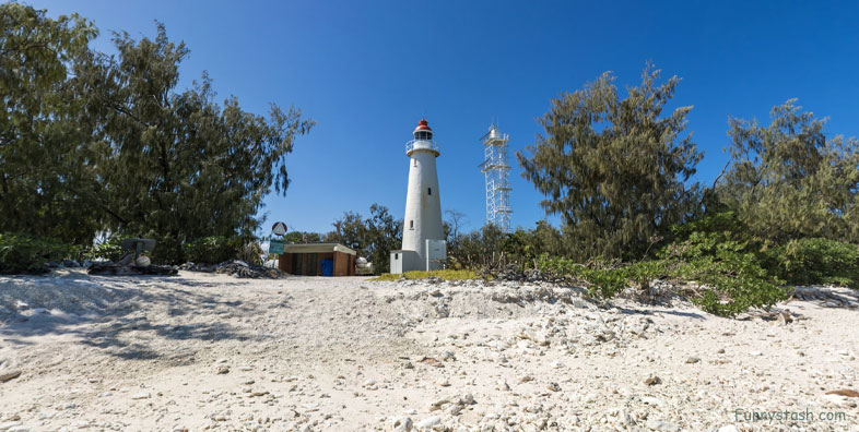
The first lighthouse to be built on the island was constructed in 1866. It was the third lighthouse built in Queensland and the first to be built offshore on the Great Barrier Reef. The original structure was destroyed by a cyclone six years later. In 1873, another lighthouse was constructed, Lady Elliot Island Light. The lighthouse is on the National Heritage list because it is a timber-framed construction with a cast iron cladding, which was premade in England and shipped to the island in pieces. This lighthouse is 49 ft tall and shone out approximately 19 miles to sea. The old lighthouse was used continuously until 1995 but became too short for the surrounding vegetation, which was interrupting the beam of light.
Gps Coordinates / -24.1144681,152.7111967
After its initial use, Newgrange was sealed for several millennia. It continued to feature in Irish mythology and folklore, in which it is said to be a dwelling of the deities, particularly The Dagda and his son Aengus. Antiquarians first began its study in the seventeenth century, and archaeological excavations took place at the site in the years that followed. Archaeologist Michael J. O'Kelly led the most extensive of these and also reconstructed the frontage of the site from 1962–1975, a reconstruction that is controversial and disputed. Newgrange is a popular tourist site and, according to the archaeologist Colin Renfrew, is "unhesitatingly regarded by the prehistorians as the great national monument of Ireland" and as one of the most important megalithic structures in Europe.
Aerial view of the Lady Elliot Island

