Gps Coordinates / 38.6643941,-78.4853519
Luray Caverns USA VR Map Places
101 Cave Hill Rd, Luray, VA 22835, United States
-
Includes unknown Ghost Girl in tour at bottom of page
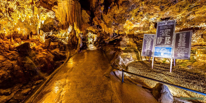
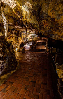
Visitors enter the cave via a path that curves downward through the caverns, eventually reaching Dream Lake, The Saracen's Tent, The Great Stalacpipe Organ and some large stalactites and stalagmites. The path proceeds to the Wishing Well and a war memorial honoring veterans from Page County.
Gps Coordinates / 38.6643547,-78.4853163
It then ascends to a small passage past the Fried Eggs rock formation and returns to ground level through a smaller passage to the entrance. The entire trek is 1.5 miles (2.4 km) long and can be completed in 45 minutes to 1 hour. Visitors can carry small pets on the cave tour, and leashed pets are permitted on the grounds outside the cave.
Link Location Gps / Gps Link -78.4852652 / Gps Link -78.4852865 / Gps Link -78.4852319
Gps Coordinates / 38.6643533,-78.4852652 / 38.6644045,-78.4852865 / 38.6644327,-78.4852319
Although known to Native Americans, Luray Caverns was discovered by Euro-Americans on August 13, 1878, by five local men, including Andrew J. Campbell (a local tinsmith), William Campbell, John “Quint” Campbell, and local photographer Benton Stebbins.[1] Their attention had been attracted by a protruding limestone outcrop and by a nearby sinkhole noted to have cool air issuing from it.
Link Location Gps / Gps Link -78.4852008 / Gps Link -78.4851701 / Gps Link -78.4840965
Gps Coordinates / 38.6644006,-78.4852008 / 38.6643461,-78.4851701 / 38.6644189,-78.4840965
Seeking a cavern, the men started to dig and, about four hours later, a hole was created for the smallest men (Andrew and Quint) to squeeze through, slide down a rope and explore by candlelight. The first column they saw was named the Washington Column, in honor of the first United States President.
Gps Coordinates / 38.6643118,-78.4852787
The unknown Ghost Girl
Upon entering the area called Skeleton's Gorge, bone fragments (among other artifacts) were found embedded in calcite. Other traces of previous human occupation included pieces of charcoal, flint, and human bone fragments embedded in stalagmite. A skeleton, thought to be that of a Native American girl, found in one of the chasms, was estimated, from the current rate of stalagmitic growth, to be not more than 500 years old. Her remains may have slipped into the caverns after her burial hole collapsed due to a sinkhole, although the real cause is unknown.
-
Purchase Tickets below at their official website
https://sales.luraycaverns.com/e-commerce/
Purchase Tickets
-
OPEN 9:00 - 6:00


