Gps Coordinates / 63.8876419,-22.2711868
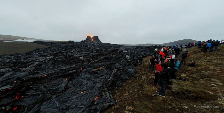
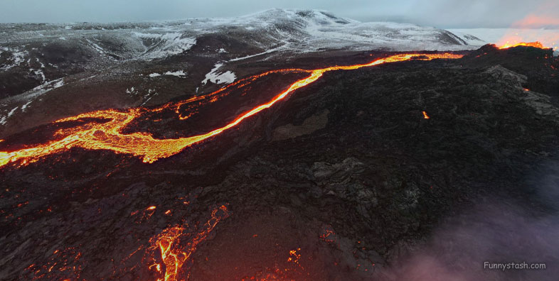
Volcano Fagradalsfjall VR Iceland
Grindavíkurbær, 241, Iceland
Fagradalsfjall is also the name for the wider volcanic system covering an area 3 miles wide and 10 miles long between the Svartsengi and Krýsuvík systems.
19 March 2021 when a fissure vent appeared in Geldingadalir to the south of Fagradalsfjall mountain.
Gps Coordinates / 63.8875,-22.2708833
The eruption was unique among the volcanoes monitored in Iceland so far and it has been suggested that it could develop into a shield volcano.
Link Location Gps / Gps Link -22.2697194 / Gps Link -22.2707043 / Gps Link -22.2647203
Gps Coordinates / 63.8876333,-22.2697194 / 63.8864632,-22.2707043 / 63.8848217,-22.2647203
Due to its relative ease of access from Reykjavík, the volcano has become an attraction for local people and foreign tourists.
The highest summit in this area is Langhóll 1,263 feet.
Link Location Gps / Gps Link -22.2743961 / Gps Link -22.2647203 / Gps Link -22.2676633
Gps Coordinates / 63.8715561,-22.2743961 / 63.8848217,-22.2647203 / 63.8877033,-22.2676633
The name is a compound of the Icelandic words 'fagur' ("fair", "beautiful"), 'dalur' ("dale", "valley") and 'fjall' ("fell", "mountain").
The mountain massif is named after Fagridalur ("fair dale" or "beautiful valley") which is at its northwest.
Link Location Gps -22.2776556,
Gps Coordinates / 63.8849174,-22.2776556
Beginning December 2019 and into March 2021, a swarm of earthquakes, two of which reached magnitude Mw5.6, rocked the Reykjanes peninsula, sparking concerns that an eruption was imminent.
-
.
.
.

