Gps Coordinates / 33.2425237,-115.4810352
Slab City USA Slum 2016 to 2021 Virtual Gps Places
543 Beal Rd, Niland, Barraza Hot Springs CA 92257, United States
Slab City is divided into a handful of neighborhoods with different characteristics. As of 2020, the community is largely divided into two: East Jesus and Slab City. Thousands of campers and RV owners, many retired, use the site during the winter months. The "snowbirds" stay only for the winter before migrating north in spring, to cooler climates.
Slab City is known for attracting people who want to live outside mainstream society.
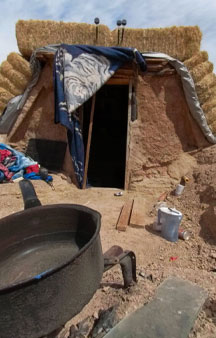
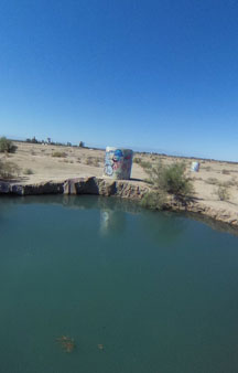
Hot Springs and Viper Lounge
Gps Coordinates / 33.2464944,-115.47728
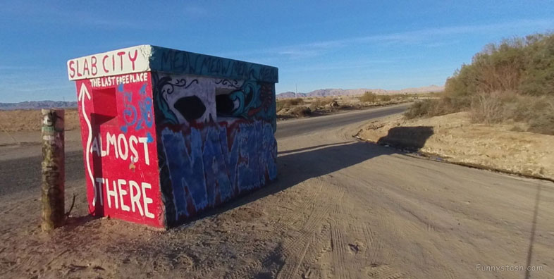
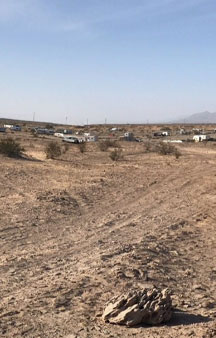
Slab City, also called The Slabs, is an unincorporated, off-the-grid alternative lifestyle community consisting largely of snowbirds in the Salton Trough area of the Sonoran Desert, in Imperial County, California. It took its name from concrete slabs that remained after the World War II Marine Corps Camp Dunlap training camp was torn down.
Link Location Gps / Gps Link -115.4568095 / Gps Link -115.469048 / Gps Link -115.476874
Gps Coordinates / 33.2569897,-115.4568095 / 33.2561712,-115.469048 / 33.2458307,-115.476874
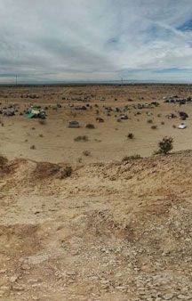
Slab City is widespread, on roughly 640 acres (1 sq.mi.) of public land. Located near the east shore of the Salton Sea, Slab City is 100 miles (161 km) northeast of San Diego and 169 miles (272 km) southeast of Los Angeles. It is about 50 miles from Mexico. To the east of Slab City is Coachella Canal, which is fenced, but gets cut open especially at Slab City, according to the Coachella Valley Water District.
Link Location Gps / Gps Link -115.4766574 / Gps Link -115.4767708 / Gps Link -115.4769486
Gps Coordinates / 33.2457236,-115.4766574 / 33.2456903,-115.4767708 / 33.2461484,-115.4769486
The area has a large amount of sunshine year round, due to its stable descending air and high pressure. According to the Köppen climate classification system, Niland has a hot desert climate, BWh on climate maps.
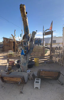
In Between Mama D's Neighbourhood Camp & Disco Deli
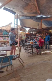
Ice Cold Bar for smooth Beer
Link Location Gps / Gps Link -115.4565962 / Gps Link -115.4567807 / Gps Link -115.4568287
Gps Coordinates / 33.2586829,-115.4565962 / 33.2587163,-115.4567807 / 33.2569597,-115.4568287
According to the San Diego Union-Tribune's Fred Dickey in 2012, the most common source of income among the permanent residents is "probably" SSI checks. In 2020, Ranker indicated that Slab City's income mainly comes from tourists and donations. In 1995, almost every resident of Slab City collected disability benefits, social security or unemployment. Another steady source of income at the time was selling salvaged goods to visitors.
Slab City has a free lending library, an outdoor music venue called The Range and The Salvation Mountain.
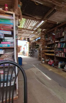
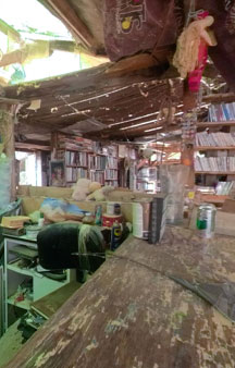
Slab City Library
Link Location Gps / Gps Link -115.4518672 / Gps Link -115.4519504 / Gps Link -115.4520181
Gps Coordinates / 33.2557911,-115.4518672 / 33.2557732,-115.4519504 / 33.2558472,-115.4520181
Many residents use generators or solar panels to generate electricity. Clean water is dispensed from a tank at the community church. The closest body of civilization with proper law enforcement is approximately four miles (6.4 km) southwest of Slab City, in Niland, where residents often went for basic shopping as of 1990. Residents were still obtaining essentials from Niland, a town of about 1,000, 30 years later in 2020.
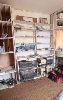
Slab City Multimedia Room
Link Location Gps / Gps Link -115.452057 / Gps Link -115.4519913 / Gps Link -115.4519424
Gps Coordinates / 33.2558665,-115.452057 / 33.2560243,-115.4519913 / 33.2558327,-115.4519424
Crystal meth is fairly common and accounts for much of the crime in Slab City. In 2015, the New York Times reported that the usual cause for police response to Slab City is over camping boundary disputes, sometimes burglary, but that methamphetamine use is a recurrent problem.
The settlement also has an internet cafe, a hostel, and a skatepark built inside what remains of the military base swimming pool.
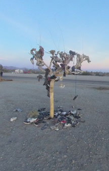
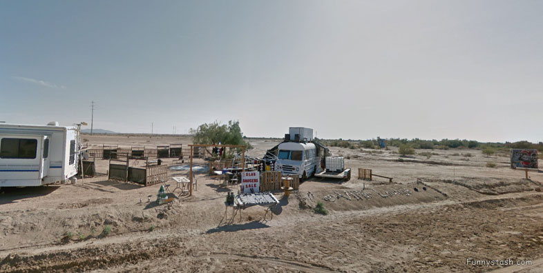
Slab City Caravans and community, Shoe art exhibit possibly?!!!
Link Location Gps / Gps Link -115.4634627 / Gps Link -115.4694028 / Gps Link -115.4677622 / Gps Link -115.4677469
Gps Coordinates / 33.2584771,-115.4634627 / 33.2511258,-115.4694028 / 33.2536384,-115.4677622 / 33.258308,-115.4677469
In December 2019, during the two-day Imperial Valley fugitive-seeking effort, Operation Valley Grinch, four fugitives hiding in Slab City were apprehended. The locals also cut the fence to unlawfully use Coachella Canal as a swimming spot.
Link Location Gps -115.4772404
Gps Coordinates / 33.2465929,-115.4772404
The land is owned by the State of California. However, it is also reported that the land was purchased by a building contractor in September 1993. As of 2021, California had not yet decided to sell the land, but the Lands Commission is considering having the land appraised, and, if needed, allow for cleanup due to military waste from the 1950s.
