Gps coordinates / 37.3091508,26.5483031
Monastery St John Theologian 11th century Tourism VR Map Links
8G5X+M87 Patmos, Greece
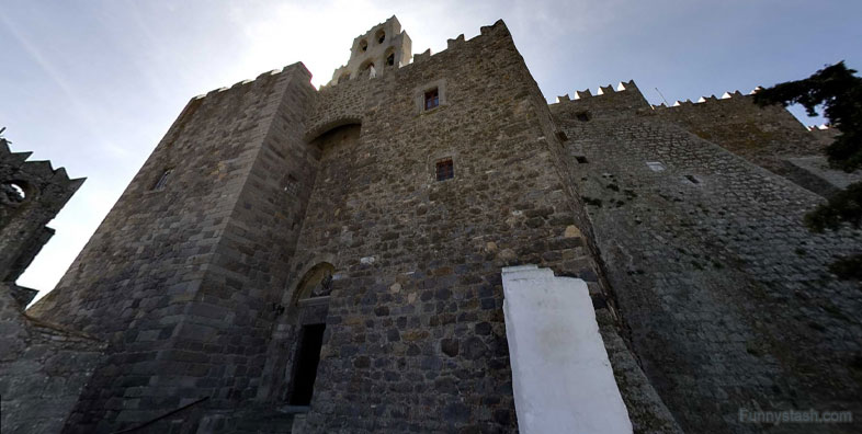
Chora on the island of Patmos. UNESCO has declared it a World Heritage site. It is named after St. John of Patmos.
Gps coordinates / 37.3090591,26.5479927
The small island of Pátmos in the Dodecanese is reputed to be where St John the Theologian wrote both his Gospel and the Apocalypse. A monastery dedicated to the ‘beloved disciple’ was founded there in the late 10th century and it has been a place of pilgrimage and Greek Orthodox learning ever since. The fine monastic complex dominates the island. The old settlement of Chorá, associated with it, contains many religious and secular buildings.
Link Gps Location Gps / Link Gps 37.3091631 / Link Gps 37.3091558 / Link Gps 37.3092442
Gps coordinates / 37.3091631,26.5482311 / 37.3091558,26.5477521 / 37.3092442,26.5477403
The small island of Pátmos in the Dodecanese is reputed to be where Saint John the Theologian wrote both his Gospel and the Apocalypse around 95 AD. A monastery dedicated to the ‘beloved disciple’ was founded there in 1088 by Hosios Christodoulos Latrinos and has been a place of pilgrimage and Greek Orthodox learning ever since.
Link Gps Location Gps / Link Gps 37.3092178 / Link Gps 37.3092429 / Link Gps 37.3092447
Gps coordinates / 37.3092178,26.5477867 / 37.3092429,26.5478024 / 37.3092447,26.5478082
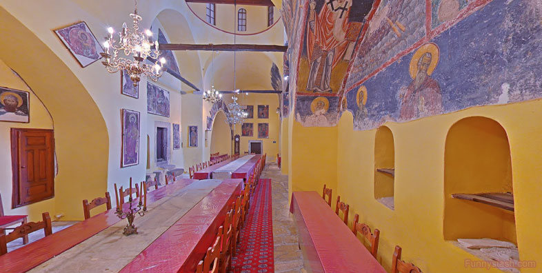
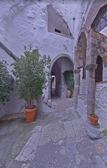
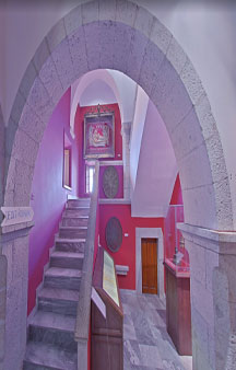
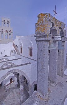
The earliest elements, belonging to the 11th century, are the Katholikón (main church) of the monastery, the Chapel of Panagía, and the refectory. The north and west sides of the courtyard are lined with the white walls of monastic cells and the south side is formed by the Tzafara, a two-storeyed arcade of 1698 built in dressed stone, whilst the outer narthex of the Katholikón forms the east side.
Link Gps Location Gps / Link Gps 37.3092509 / Link Gps 37.3092302 / Link Gps 37.309226
Gps coordinates / 37.3092509,26.5478062 / 37.3092302,26.5477611 / 37.309226,26.5479948
Its foundation was part of Emperor Alexios I Komnenos’ policy to colonize the islands and create a base in the Aegean. The colonization of the Chóra of Pátmos took place gradually around the fortified monastic complex, which always had absolute dominance over the island as the main governor and regulator of the organization of the social life of the islanders.
Gps coordinates / 37.309165,26.5473568
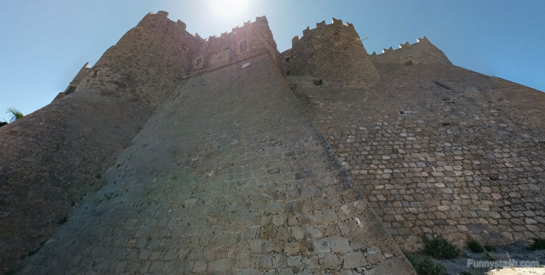
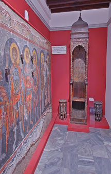
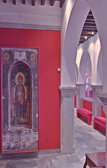
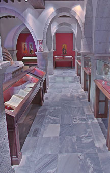
The monastery of St John the Theologian is a unique creation, integrating monastic values within a fortified enclosure, which has evolved in response to changing political and economic circumstances for over 900 years. It has the external appearance of a polygonal castle, with towers and crenellations. It is also home to a remarkable collection of manuscripts, icons, and liturgical artwork and objects.


