Gps Coordinates / 41.9026022,-87.7321345
Daylight shooting VR Map Places
4299-4201 W Division St, Chicago, IL 60651, USA
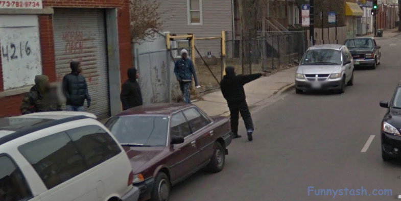
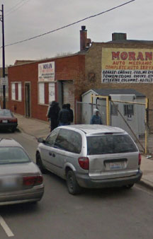
Caught on Google Street View, Google changes and unchanges this image peridocally to make it semi obserevable through the years and sometimes removes it, then brings it back blurred, Google cannot make up their minds whether or not to show this image because sometimes it'll appear under many different ways. Who knows whether they were shooting into oncoming cars, i'm sure brandishing onto uncoming traffic is a crime in itself whether whatever your explanation is
Google street view captures group brandishing
Link Location Gps / Gps Link -87.7319281 / Gps Link -87.7317918 / Gps Link -87.7316483 / Gps Link -87.7320082 / Gps Link -87.7315783
Gps Coordinates / 41.9025525,-87.7318852 / 41.9026069,-87.7317918 / 41.90261,-87.7316483 / 41.9026109,-87.7320082 / 41.9026119,-87.7315783
daylight shooting, authenticity i just look for rust and sand-red buildings -legit
GPS coordinates / 41.9025856,-87.7315364
That's right folks the most dangerous democratic city in the world is now Chicago or as people and gangs are naming it Chiraq because the death tolls are equaling and surpassing Iraq and even Afghanistan, back in the 70's/80's/90's there would be fist fights and possibly bats and clubs even the odd knife/zip-gun but now the inner-city gangs idea and mentality of a street fight is rolling up in a van and spraying the corner with powerful and plentiful sub-automatic machine guns. Extreme violence of the past almost seems quaint and fluffy now ఠ ͟ಠ)

