Gps Coordinates / -8.41,116.458
Volcano Crater Mt Rinjani indonesian Map VR
Sembalun Lawang, Sembalun, East Lombok Regency, West Nusa Tenggara, Indonesia
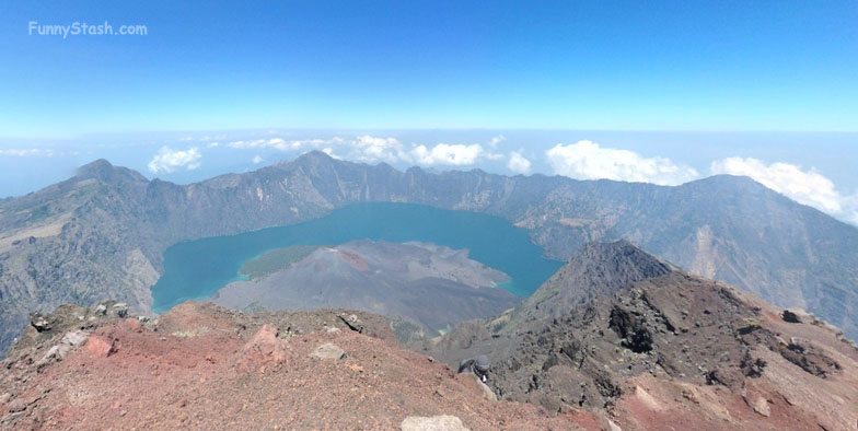
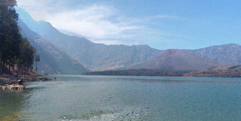
Here at lake Anak the name can be quite deceiving as that below may look like a peaceful lake or an asteroid crater (to the trained eye) but it is infact the destruction of a volcano in 1257 AD it threw as much as 11 cubic miles of rock into the atmosphere, destroying reshaping and carving the mountain top you now stand on, it looks just as beautiful from the air as it does on ground, hopefully somebody with a Drone captures this Volcano one day
LAKE VIEW at base
Gps Coordinates / -8.411651, 116.458893
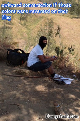
Indonesia prides itself as high tolerance and acceptance within the muslim community a pillar of a successful majority of muslims co-existing in harmony however with all that aside, if someone was wearing a face-mask while brandishing a flag with a circle in the middle with what appears to be Arabic writing, my anxiety levels would rise dramatically as he approached
Gps Link -8.4217601 / Gps Link -8.4217601 / Gps Link -8.4217601
Gps Coordinates / -8.4217601,116.4038685 / -8.4217601,116.4038685 / -8.4217601,116.4038685
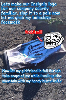
Human adventure equipment, but from the distance that would start to look Arabic in nature (^o^)
The Volcano Lake from above, absolute destruction, the volcano cannibalised itself
