GPS coordinates / -17.924393, 25.856667
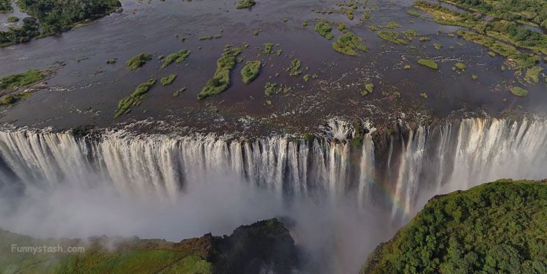
Africa Victoria Falls Drone Zambia PhotoSphere
Check out this photosphere at the peak of the falls under a bunch of canopies at the end of a walkway in a hotel resort lies a more massive waterfall, by the looks of it there are many peaks around here including the one your standing on in this VR panoramic 360° photo-sphere view
Devils pool links coming soon, it's a Jacuzzi teetering over the cliff edges, kinda like extreme relaxing, i'd post a picture but i don't wannabe a tease, find it yourself you hobo
As always use the map navigator as there are many more local of these photospheres around the area
