Gps Coordinates / 33.2567786,-115.473265
Slab City USA Slum Flyover Parasail Parachute Glider 360 Adventure
7G4G+PM9 Slab City, California, USA
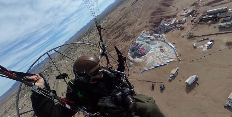
Amazing views above beautiful Slab City really gives you a unique aerial view that you would normally see from drone footage but it's by some rather odd chap with his own Parasail who's giving us the 2017 tour of Slab City
The approach behind Salvation Mountain a popular tourist destination
Link Location Gps -115.4737586
Gps Coordinates / 33.2556626,-115.4737586
Alot of trees in Slab City considering it's a dry desert it's located closeby the Salton Sea so there's a few river that drain into it's reservoir that locals take advange of so they're likely watering the area with the few streams that pass through Slab City. Even a few locations they've diverted the water to make authentic looking ponds to bathe and swim while slamming back a few brews with the locals, it has it's own tourist kiosk at salvation mountain with a few people who love to talk about their faith in religion and the creator of Salvation Mountain.
Any good fortitude needs great water supplies
Link Location Gps -115.4674796
Gps Coordinates / 33.2630364,-115.4674796
Looks almost hidden within the foilage but that'll just be a natural sunshade as locals in the slum can take advantage of the streams of water that pass through here you can see etched into the map surrounding Slab City. The water sources into Slab City appear to be man made with one called basically The "Siphon" and the other is a canal called The East Highline Canal. The Canals support the irrigation to the farms 20-miles away and the Aqua Farms and there's a naval base inbetween both that more than likely use the same water sources. A great water source to feed off in any slum is always a priority, good sun with plenty of water on these Aerial Maps could mean this slum persist alot longer than many would guess
Slab City appear to use rare desert foilage for natural sun cover
Link Location Gps -115.4659888
Gps Coordinates / 33.2613204,-115.4659888
Huge circular concrete columns in the distance almost make it a notable looking landmark insignia almost forbodeing in apperance with it's relic form, was it an archaic water storage facility or the columbs for generating power, someone with knowhow could possible repurpose those circular columns in the distance to have better use than just a Grafitti dump. If anyone would know how to repurpose giant concrete foundations it would be them. I'd make it an animal refuge stable or perhaps a wildhorse sanctuary, but who knows i'm just spit balling ideas in my imaginationland
Concrete columns in the distance
Gps Coordinates / 33.2561712,-115.469048
