Gps Coordinates / -3.8488569,-32.4368118
Fernando Island South Atlantic Ocean Map VR
Praia da Quixaba, State of Pernambuco, 53990-000, Brazil
Once a brutal Prison, not a bad place to be imprisoned though remains a beautiful island on the South Atlantic Ocean close-by is Brazil and the expanse of South America, you can take the tour by boat and hike also, there's quite alot to see and you can take to the cliffs on the upper left above also
Gps Coordinates -3.849574, -32.439773
Fernando de Noronha is an archipelago in the Atlantic Ocean, part of the State of Pernambuco, Brazil, and located 220 miles offshore from the Brazilian coast. It consists of 21 islands and islets, extending over an area of 10 sq miles. Only the eponymous main island is inhabited, it has an area of 7.1 sq miles and a population estimated at 3,101 in 2020.
Link Location Gps / Gps Link -3.8488724 / Gps Link -3.8505708 / Gps Link -3.8504375
Gps Coordinates / -3.8488724,-32.4368679 / -3.8505708,-32.4407629 / -3.8504375,-32.4412257
The navigator Google Map tour shows a vast blue scope in which to comfortably view, this island is situated a few dozen miles from Brazil and remember to take the boat tour, Brazilian tourists are all over the island but it's a very spacious island
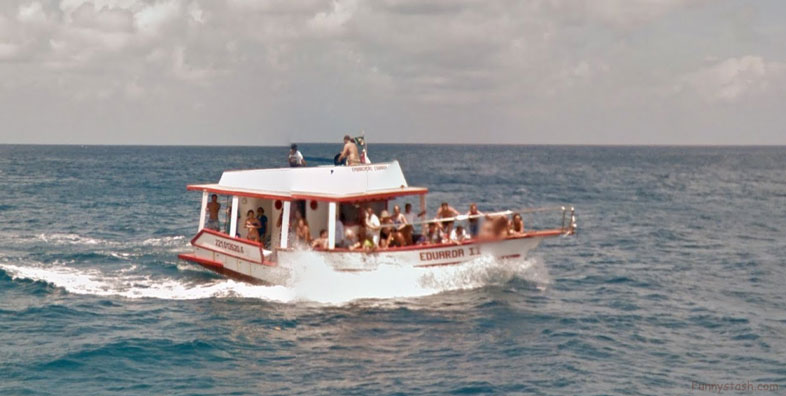
The Party boats on fernando islands are fun looking cruises, they go at high speed for bloated boats, you can tell the way the waves hit the steer of the boats
Gps Coordinates / -3.8486285,-32.4412428
The second party tour boat trailing not far behind the first rock
Booze Cruise History Lesson guide of this old Brazillian prison the island was used for
Gps Coordinates / -3.8482988,-32.4427113
In the late 18th century, the first prisoners were sent to Fernando de Noronha. A prison was built. In 1897 the government of the state of Pernambuco took possession of the prison. Between 1938 and 1945, Fernando de Noronha was a political prison. The former governor of Pernambuco, Miguel Arraes, was incarcerated there. In 1942, during World War II, the archipelago was made a Federal territory, which included Rocas Atoll and Saint Peter and Paul Rocks. The government sent political and ordinary prisoners to the local prison.
Aerial View Fernando Island South Atlantic Ocean
Fernando de Noronha's occupation dates to the early 16th century. Due to its geographical position, the archipelago was one of the first lands sighted in the New World, being shown in a nautical chart in 1500 by the spanish cartographer Juan de La Cosa, and in 1502 by the portuguese Alberto Cantino, in the latter with the name "Quaresma".
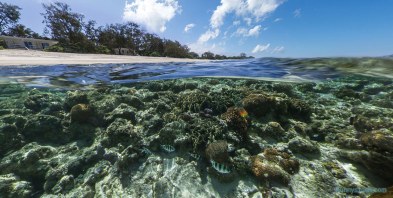
Even the back of the island shores is interesting for a hike
Gps Coordinates / -3.8785884,-32.4576262
